 Outer Hebrides Biological Recording
Outer Hebrides Biological Recording
Outer Hebrides Biological Recording
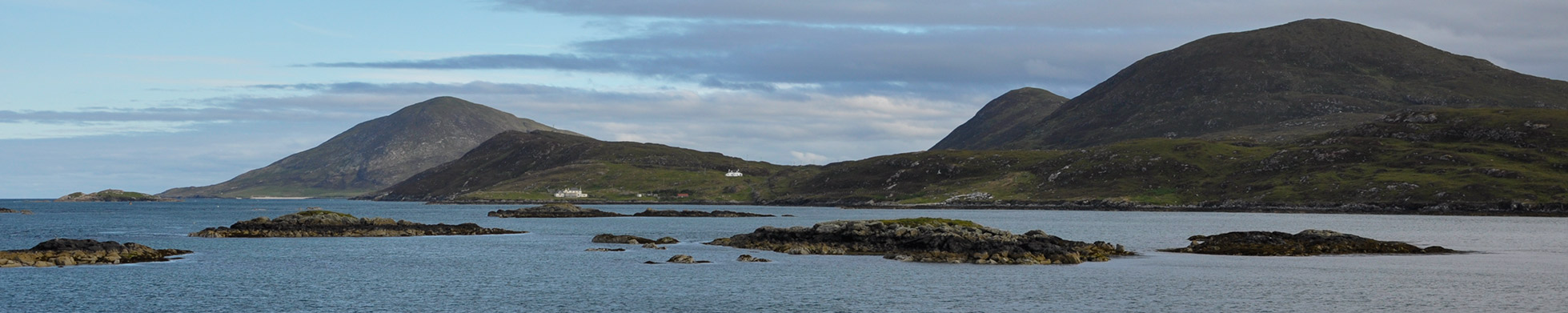
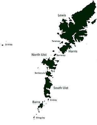
The Outer Hebrides is an archipelago 15 inhabited islands and over 100 smaller islands and skerries, situated 70km off the west coast of Scotland. From the Butt of Lewis at the northern tip of Lewis it is over 200km to the island of Mingulay in the south. The remote outlying North Atlantic islands of St. Kilda, Sula Sgeir and North Rona are not geologically part of the archipelago but have cultural links to the Outer Hebrides and are included in the Watsonian Vice County 110. The islands each have a distinct character and an array of habitats; the peaty uplands and blanket bogs of Lewis contrast with the rugged mountains of Harris and the machair and sandy beaches of the Uists and Barra.
Geologically the archipelago comprises Lewisian gneiss, some of the oldest rock in Europe, which has been transformed by the action of ice, wind, rain and waves into a distinctive Hebridean landscape. These wild lands have also been shaped by the hand of man, through cultivation, grazing and woodland clearance; and are now recognised as internationally important with respect to their habitats, fauna and flora. Through recording, mapping and monitoring their biodiversity we can help to safeguard their future by providing the information that is required to enable land managers and statutory authorities to make informed decisions.